
the fire tower

the view

the trail

the outhouse
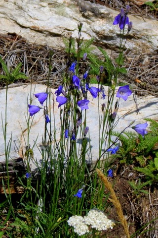
the wildflowers

the fake tree/cell tower
Custer Peak, elevation 6804' named for General George Armstrong Custer who explored this area in 1874. Stone fire tower circa 1937-1938. National Historic Register. Possibly built by CCC - but only found one online reference to that. Custer Peak Road 5 mile gravel road to the top, pretty rough, 4WD.
Just a leisurely Sunday afternoon drive through the Black Hills turns into an adventure. Look there is a stone fire tower on that mountain over there. A quick map check confirms it to be Custer Peak. Look, Custer Peak Road. Turn at the fake tree/cell tower, signs says 5 miles to Custer Peak. Pass by Mystic Hills Hideaway campground and off-road rentals. The wide gravel road gets narrower and steeper the farther we go. The gravel turns into boulders. The 4WD is activated. Passed some hikers along the way - "you're almost there!" Parked at the last wide spot and walked the rest of the way. Awesome views all around!


